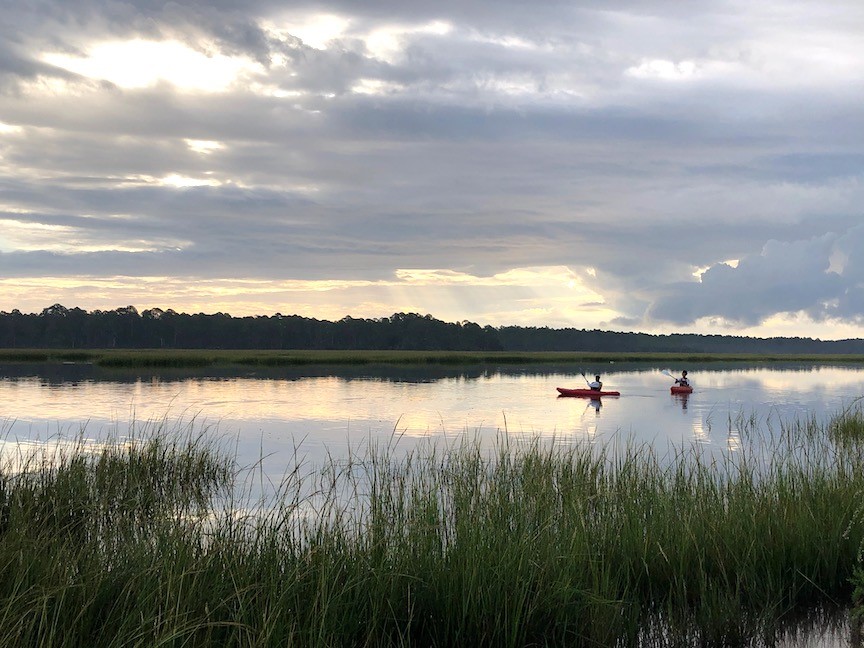
November is Florida Paddlesports Month, a perfect time to ask yourself: “Are there really seven creeks in 7 Creeks Recreation Area?”

Photo: TPF.
Yes, there are! 7 Creeks Recreation Area is a connection of parks and preserves on Jacksonville’s north side and you can use various launch points to access Bogey Creek, Clapboard Creek, Cedar Point Creek, Edwards Creek, Fitzpatrick Creek, Horseshoe Creek and Pumpkin Hill Creek.
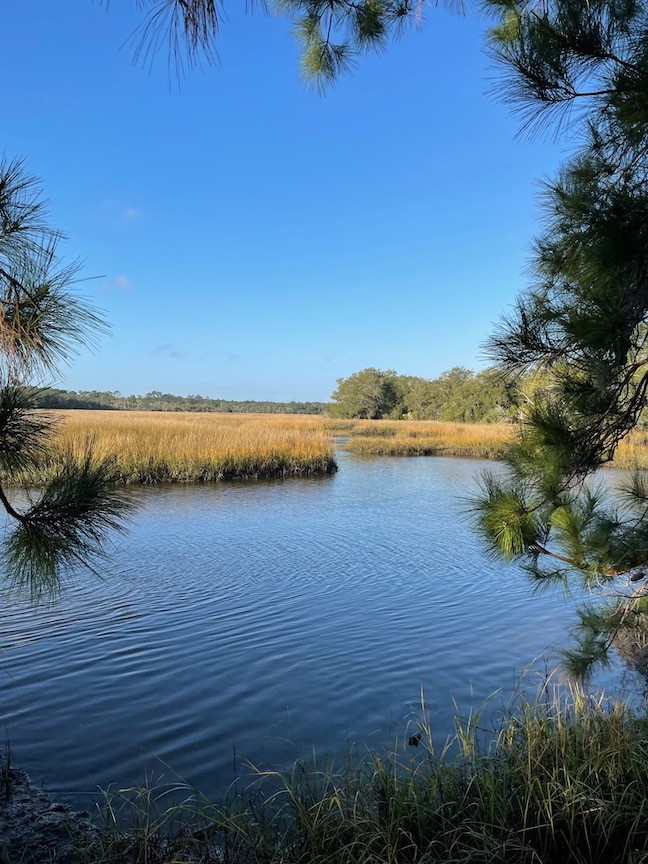
Bring your kayak, paddleboard or canoe and launch from these spots to explore tidal creeks, cypress swamps, and saltmarsh — all Old Florida habitat teeming with wildlife:
- Edwards Creek Day Use Area inside Betz-Tiger Point Preserve at 13990 Pumpkin Hill Road. The kayak launch is at the north end of the preserve and there is parking. A walkway takes you to the fishing platform where a path on the right accesses the shoreline — you can put into Edwards Creek which leads into nearby Pumpkin Hill Creek. There are also covered picnic tables and a portable restroom at this site.
- Pumpkin Hill Creek Kayak Trailhead, a part of Pumpkin Hill Creek Preserve State Park, is located right before the entrance to Betz-Tiger Point Preserve. There is parking and you can launch into Pumpkin Hill Creek and can either go north to Edwards Creek and towards the Nassau River or head south towards Cedar Point Creek. Also onsite are picnic tables and a portable restroom.
- Cedar Point/Horseshoe Creek Trailhead is part of the Timucuan Preserve (our national park!) and can be accessed at 9023 Cedar Point Road. There is a boat ramp and kayak/canoe launch, plus a parking area. You will launch into Horseshoe Creek and then head out on your day where you can access the other six creeks as well as Sisters Creek and the Fort George River. There are also picnic tables and a restroom at this trailhead.
- The Bogey Creek landing site is not for the faint of heart. It is a kayak landing at Bogey Creek Preserve which you can access by paddling in from Clapboard Creek. While it is not a launch point, you can land there to picnic or explore the trails before heading back on the water on your paddling adventure.

Photo: Kobi Ellis.
Before you go, an important part of planning is checking the tides because a few areas become impassable at low tide. For example, if heading under Cedar Point Road, it is only navigable at mid-tide due to the clearance height under the bridge. Tide apps on your smartphone are a handy way to check.
You can find more information at the 7 Creeks Recreation Area page as well as in the Northeast Florida paddling guides which can help you plan your trip.
Take in the beauty of the creeks and the life in the marsh. Enjoy the wildlife and plant species that call them home. Watch wildlife from a distance and make sure you leave no trace by packing out anything you bring with you.
